Image to Location
AI Photo Finder
APIs that
just work.
Fast, accurate, and reliable APIs for modern applications. Get started in minutes with our comprehensive documentation.
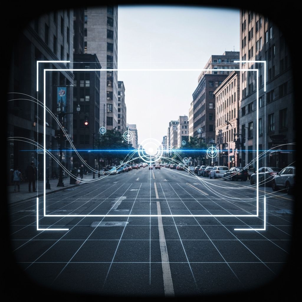
No landmarks.
No metadata. Just a region.
Geo-Estimation reads environment, structure, and context from a single image — returning ranked, high-confidence regions in seconds. Our vision transformer decomposes the frame into vegetation, soil, architecture, and sky patterns to infer location directly from visual signals.

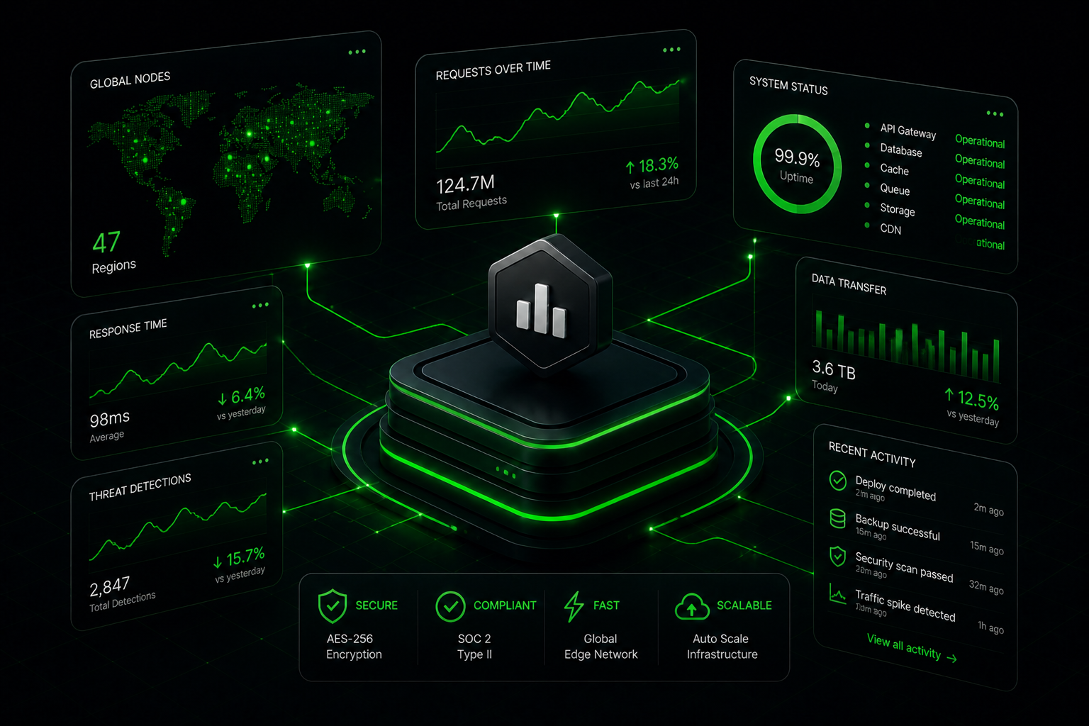
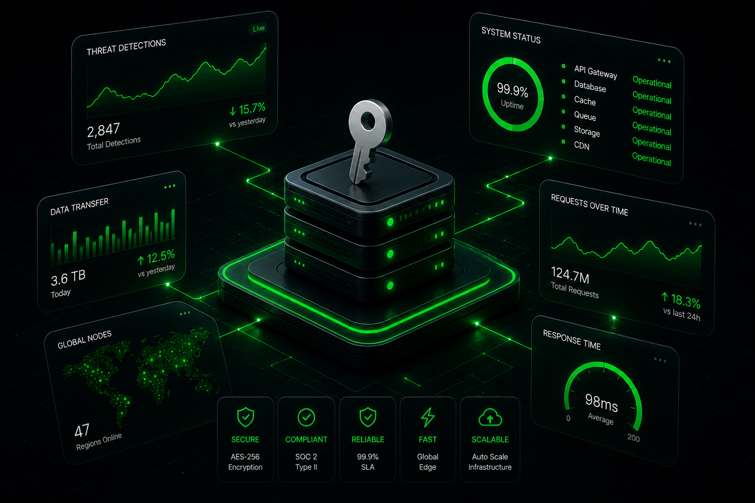
Connect Once.
Access Everything.
GeoPry's APIs give you instant access to accurate, real-time data from around the world. Built for scale, designed for developers.

Built for
low-context images.
Street Targeting delivers meter-level precision even when clear landmarks are absent — narrowing broad regions to exact locations in seconds. Perfect for images with partial views, no visible addresses, or challenging lighting conditions.
Every pixel
carries a clue.
GeoPry uses advanced vision transformers to analyze multiple visual signals simultaneously, delivering intelligence in seconds.
Built for professionals
From security researchers to journalists, GeoPry powers visual intelligence workflows across industries.
Security Research
Verify image authenticity and trace origins for threat intelligence and open-source investigations.
Journalism
Geolocate user-generated content and verify eyewitness reports for accurate news coverage.
OSINT Analysis
Extract location intelligence from social media imagery and public sources for comprehensive analysis.
Trusted by researchers, journalists, and security professionals worldwide